Route out – Hawick to Newcastleton to Langholm. For route map click here.
Route back – Langholm to Harelaw to Newcastleton to Saughtree to Hawick. For route map click here.
See route on Strava.
- Weather – Sunny with light winds and reasonably warm.
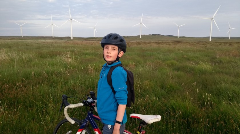
- Bike type – road bike
- Distance travelled – 71.06 miles
- Riding time – 5 hours 55 minutes
- Maximum speed – 30.6 mph
- Average speed – 12.0 mph
- Height climbed – 5245 feet
The weather was looking good last Saturday so I decided we should make the most of it and go on what I reckoned would be one of our longest and probably our hardest route to date. And it certainly was – but it was also probably the most enjoyable we been on!
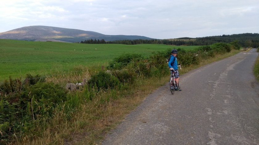
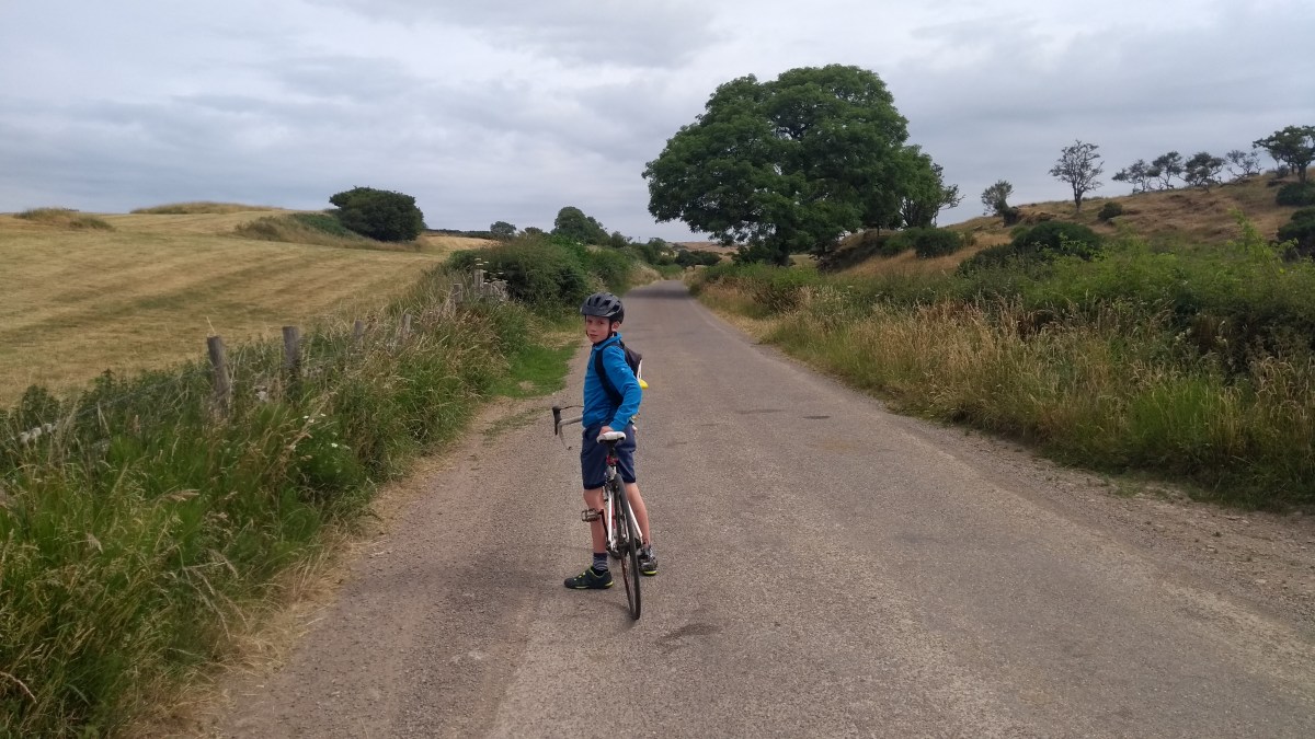
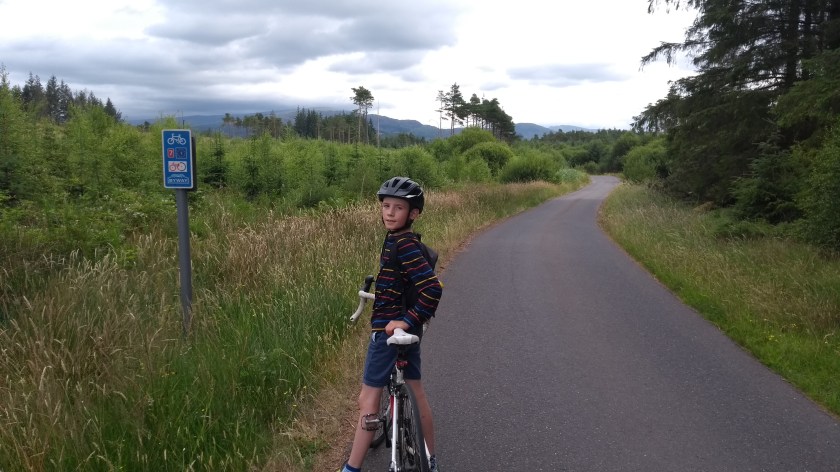
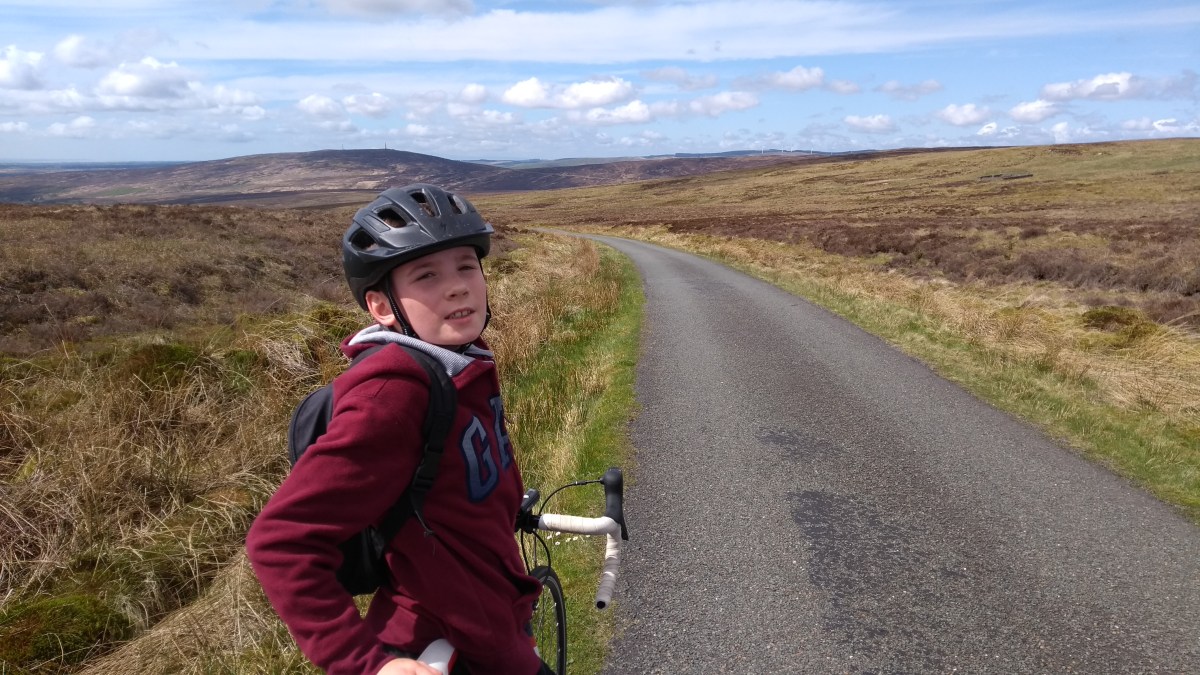
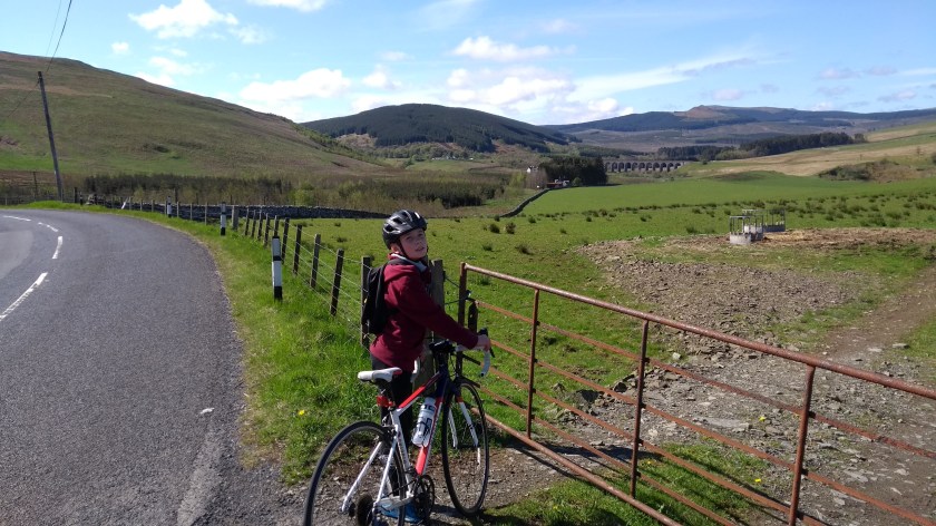
Dad and I were up early to pack the bikes onto the back of the car and after breakfast we were off on the road, heading south for Hawick, one of the larger towns in the Scottish Borders, about an hour’s drive from home. After parking the car, we headed south out of town along the B6399, signposted for Newcastleton 20 miles away. This is one of the most brilliant cycling roads you can imagine: very little in the way of traffic (even fewer bikes oddly – or more accurately, none at all), stunning scenery, long steep uphills and even longer gradual downhills. The road starts off easy enough and is very flat for the first few miles, following a river and passing some pig farms on the way to Stobs Castle. You can’t actually see the castle from the road so we didn’t stop and soon came to the first steep hill of the day. It’s quite a short hill but the view back to where we’d come from was very nice. After that, there’s another fairly flat section for a mile or so before a long, winding gradual (and fun) descent, passing an impressive old viaduct in the distance. The viaduct was originally used by trains on the old Waverley Line but sadly, the track has long since gone so we saw no trains today. Well, not quite yet anyway…
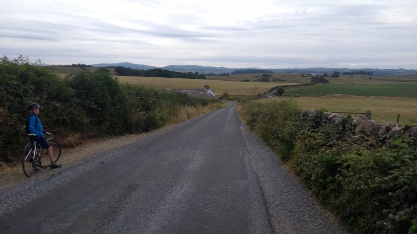
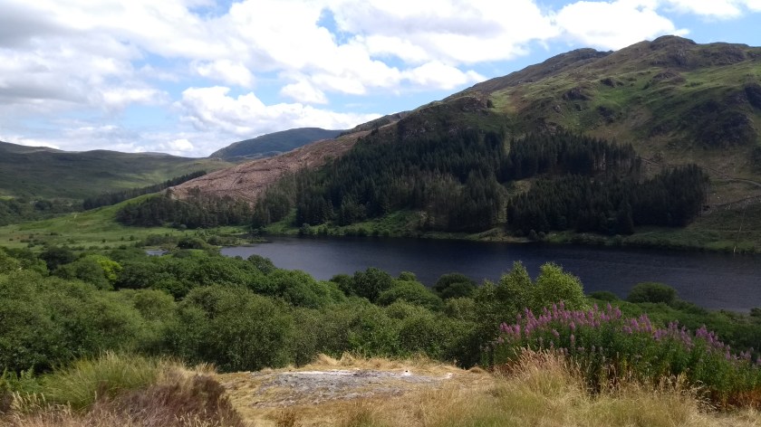
Soon the road begins to climb quite gradually and after a while the amazing views of the valley ahead really open up and you can see the road ahead as it seems to climb rather steeply up a massive hill. As we approached, it looked like a very hard climb but it turned out to be nowhere near as steep as it looked (maybe 5% gradient or so). It did last for a good few miles though and climbed up past 400m so it certainly couldn’t be classed as easy… From the top you then get what can only be described as the most fun and fast 10 mile downhill section through deserted Borders countryside, following a river through the valley (narrow at first then wide open) all the way to the village of Newcastleton, the first real sign of civilisation since Hawick. The gradient is fairly slight so there’s nothing too fast and scary to deal with but there’s a lot of corners and the road is quite narrow in places so you still have to be careful at times. Near the start of the descent we passed something you don’t normally see in the middle of nowhere – some old trains and carriages just off the side of the road. This was the Whitrope Heritage Centre and if you like railways, it’s worth a visit. We cycled past these trains in the opposite direction once before so for us it wasn’t a surprise this time to come across the old railway in the middle of nowhere. It was still worth interrupting our 10 mile descent to get a photo of the trains though…!

When we reached Newcastleton Dad suggested stopping for an early lunch but I was still feeling energetic and decided to keep going. I was excited about the next bit because it would take in another of the 100 best cycling climbs in Scotland according to my favourite new book by Simon Warren. Rated as 6/10 for difficulty, the Tinnis Hill climb starts right in the village (turn right off the main road and follow the sign for “public conveniences” as there is no sign for Langholm if you are heading south) and immediately the narrow, smooth road becomes very steep (gear 1 or 2 steep!) and has quite a few corners. It passes what must be a very scenic and hilly golf course on the way up and the views back down towards the east and north are simply stunning as you cycle up. Dad couldn’t keep up with me as I raced ahead and after a quite a long time of relentless climbing, the gradient eased and the road became dead straight for ages as we cycled at a really fast speed across the top of Langholm Moor. Eventually, we turned a

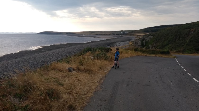
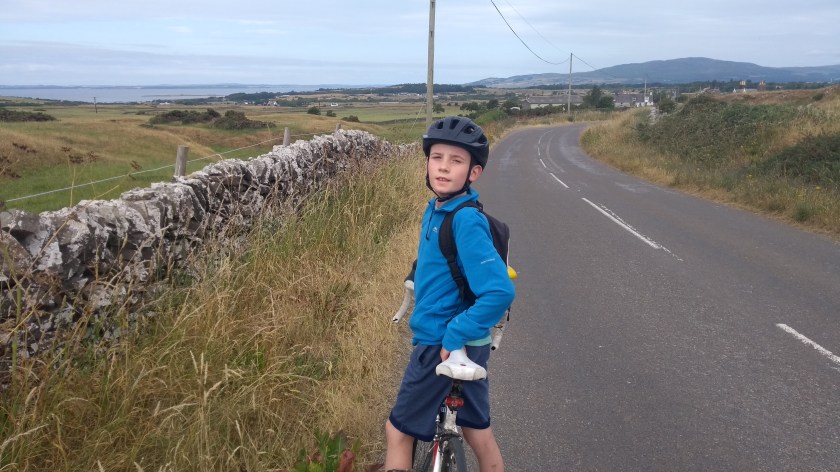
corner and the road steepened once again for a final push to the top of Tinnis Hill. From here we got a nice view right over to the South-West of Scotland and probably as far as North-West England too. We could also see the narrow road ahead looking like it would be fun as it headed steeply back down the other side of hill. And it certainly was a lot of fun, quite bendy and fast and in almost no time we reached the bottom – or as it turned out, it wasn’t the bottom at all. As we crossed a bridge, the sign said 6 miles to Newcastleton in one direction and 4 miles to Langholm in the other, so there was still quite a bit to go. And we could see the road ahead would be taking us up yet another steep hill on the way. I didn’t mind though as the views all around were amazing and although it was another long climb, it wasn’t quite as steep as it looked and before too long we were speeding down another brilliant fast descent, into the town of Langholm. Watch out near the end of the downhill section where it becomes very steep and there’s a really tight bend to cycle round just before you reach the town at the junction with the main A7 road. I imagine that in the rain, snow or strong winds, the Langholm Moor road would have been a bleak, horrible experience but on a nice sunny day like today, the 10 miles over the hills from Newcastleton to Langholm might possibly be the most fun you can have on a road bike!
In Langholm, we did have our first stop of the day (after 30 miles amazingly) and ate lunch at the river side: crab, oatcakes, carrot sticks and crisps. After that we cycled along the A7 through the town for a bit. Dad spotted a nice baker and suggested that we should stop for something to eat – so we stuffed ourselves with a second lunch of very tasty sausage rolls… Then we got going again and just outside of town we turned left onto the

B6318. There was a sign saying Road Ahead Closed but we decided to ignore this and press on as the alternative route would be a long ride down the busy A7. As it turned out, the road was half blocked by a pile of earth, possibly from a landslide, but there was enough room to cycle past safely enough, though no cars could have got through. That probably explains why the road was so quiet. We cycled for about 6 miles on the B6318, and there were very few flat bits and lots of short, steep hills to go up and down. After our double lunch, we found this section to be a bit of a long slog and despite all the massive hills elsewhere in this route, this was easily the hardest part of the day. We were glad to finally reach Harelaw, where we turned left onto the B6357 right next to the Scotland-England border.

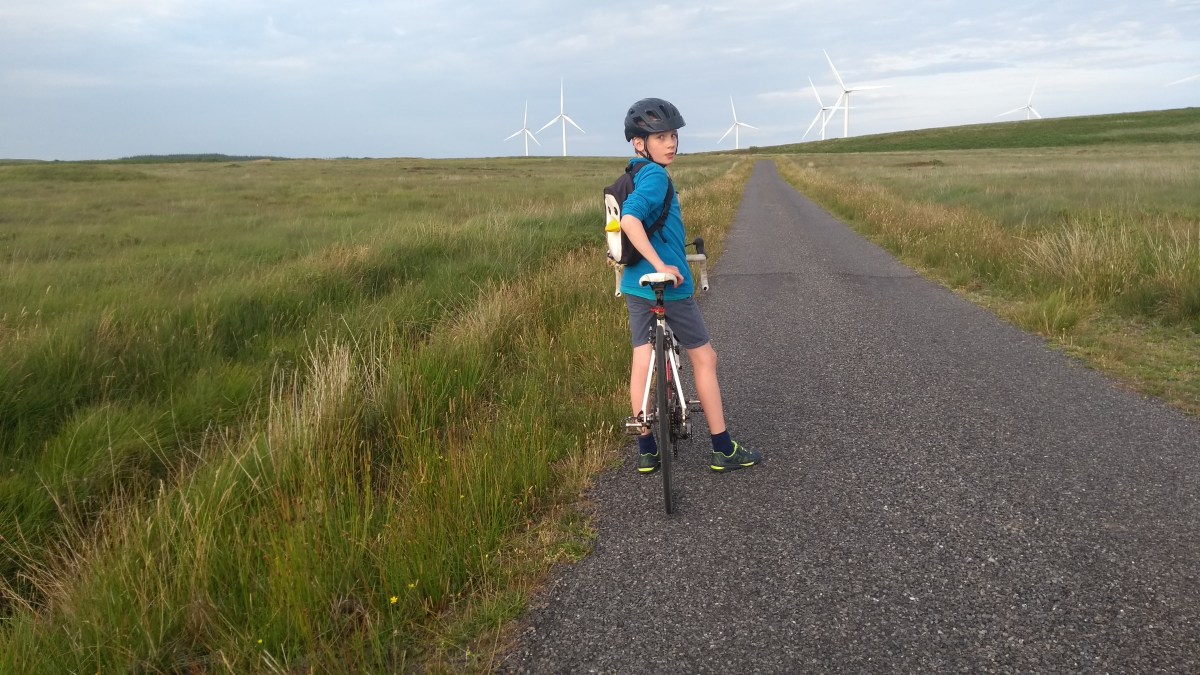
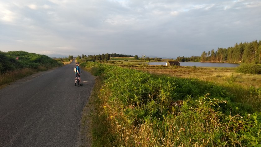
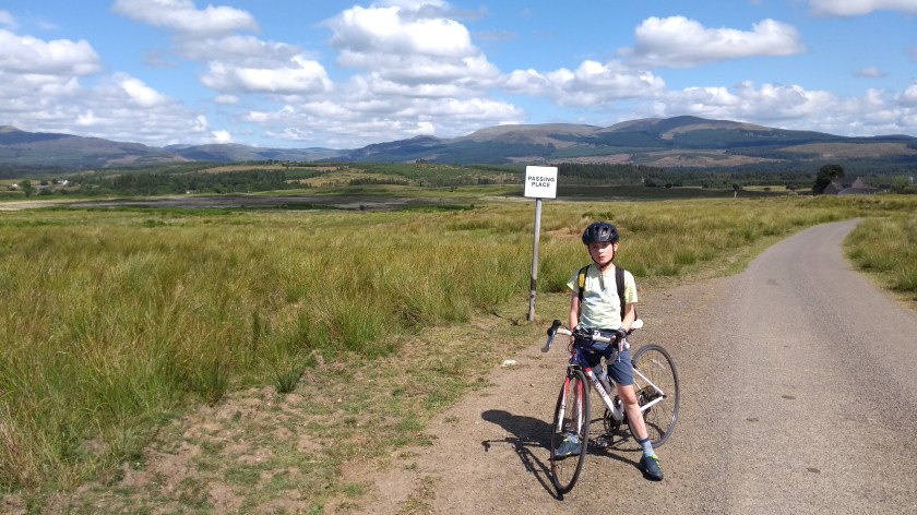
From here we basically cycled alongside the river the Liddel Water northwards for the next 20 miles or so, never going more than a couple of miles from the English border the whole time. This road was fairly quiet and relatively flat, though it felt as though it was very slightly uphill most of the time. It was on this road that after about 45 miles of cycling, we finally passed our first cyclist of the day. This is quite remarkable considering the perfect cycling weather today and also the quiet, scenic roads that are perfect for cycling. For some reason, maybe because it is quite remote and far away from any main city, this area seems to be much less popular for cycling than other parts of the Borders, such as around Peebles and Melrose. Well, that’s their loss, and it would seem that this area of the Southern Borders shall remain our secret cycling heaven. Or at least it will till thousands of people read this blog of course…! After passing through Newcastleton once more (and we did see a sign pointing to Langholm in this direction) we soon came to a fork in the road: left to go the quick way back to Hawick or right to stay on the B6357 and head for Bonchester Bridge and the much longer way back to Hawick. We chose the long way of course…

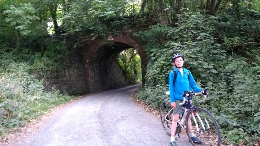
After quite a few miles of easy but slightly uphill riding through the quiet countryside, we eventually came to Saughtree Station (sadly not a train station any more…) and it was here that the road really started to climb. This is another really hard, long climb and is also featured in my Cycling Climbs of Scotland book which rates it as 4/10 for difficulty. It has quite a few sharpish corners on the way up into the Wauchope Forest and as you head upwards, you also get fine views across to the Kielder Forest a mile or 2 away across the border in England. After a short while we reached what appeared to be the top of the hill and the road started to head downhill again so we really picked up some speed. Then after rounding another bend we discovered that yet again we had been fooled, and there was another long and steep hill to go as the road climbed close to 400m once again. It didn’t seem too hard though and with great views on the right across to the Cheviot Hills, it was a very pleasant climb. Then came another very long and fast and fun descent down through the trees for a few miles. Watch out for a really bad pothole on the way down though, exactly on the part of the road most cyclists would be travelling on. Luckily Dad is really good at spotting potholes so we were able to avoid it.
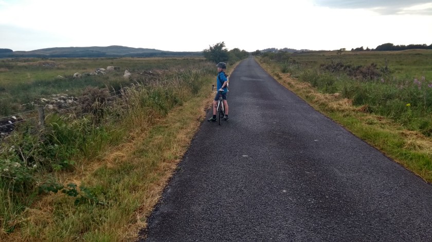
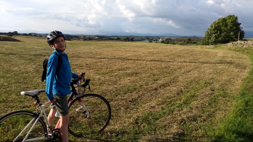
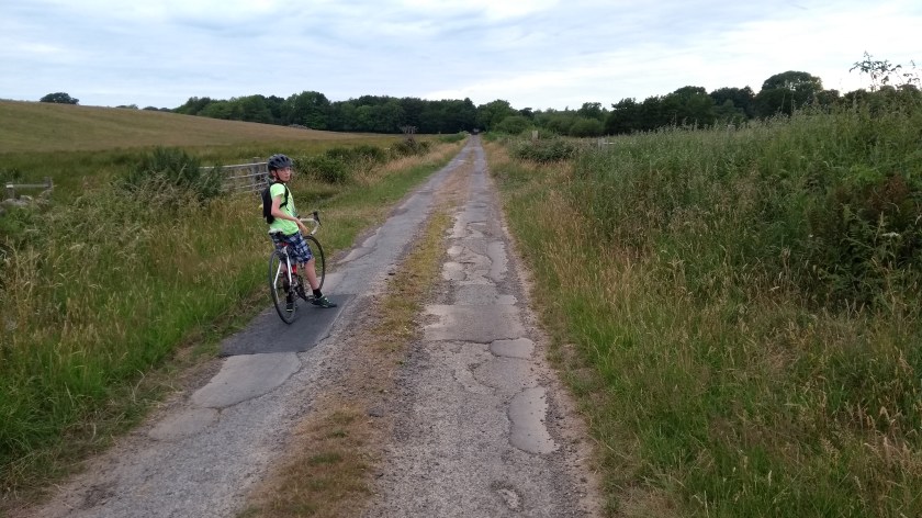
A couple of miles before the B road reaches Bonchester Bridge, we turned left onto a very narrow back road. The junction is not easy to spot because of the Beech trees but it’s just before you reach a white house. The narrow road goes very steeply downhill so be careful here. You then need to turn left at the junction, then another quick left and then a quick right onto a very quiet single track road which takes you up another long and steep hill in the middle of nowhere (not as challenging as some of the other hills today but still a hard climb, especially when you’ve already done over 60 miles!). The views of the countryside all around were lovely and Dad stopped for quite a few photos on this

section. After a while we came to a junction with another minor road right at the top of the hill at over 300m high. We turned right in the direction of Bonchester Bridge for a few hundred yards before turning left onto the road back to Hawick, the A6088. This road was extremely quiet for an A road and the best thing about it was that the 5 miles back to Hawick were almost entirely downhill and we free-wheeled almost all the way back to the town. As we cycled into the town centre Dad spotted a chip shop, and since it was nearly 5pm we stopped to fill our faces with fishcakes and scampi suppers. It was the prefect way to end our magnificent, epic, and extremely hilly grand tour of southern Scotland.